Whatcom forecast sees snow easing Thursday, possible tidal and wind effects
Temperatures will begin warming gradually as a storm system blows in from the Pacific overnight, bringing some snow flurries and strong winds through Thursday morning.
No significant snow accumulation is expected, said Kirby Cook, a meteorologist at the National Weather Service in Seattle.
“Whatcom will still see that Fraser outflow,” Cook told The Bellingham Herald. “That’s going to keep things on the coolish side.”
A wind advisory was issued through 1 a.m. Thursday for east-southeast winds at 16-18 mph, with gusts to 24 mph.
Northern Whatcom County, especially Lynden, was seeing much stronger northeast winds, said Randy Small, who operates the Whatcom County Weather page on Facebook.
By early Thursday, winds will shift, Cook said.
“At some point, you’ll start to see southerlies. That’s going to be a drastic change,” he said.
Daytime temperatures Thursday will be in the high 30s and any precipitation will fall as rain, especially at elevations below 500 feet, according to the forecast.
Roads could be slick Thursday as temperatures drop back toward freezing Thursday night, Cook said.
No significant snow accumulation is expected, according to forecasts.
Approaching stormy weather could cause problems along the Whatcom County coast because of seasonal high tides, said John Gargett, deputy director of the Whatcom County Sheriff’s Office Division of Emergency Management.
A gale warning was posted until 4 p.m. Friday for southeast winds in 30- to 40-knot range with gusts up to 60 knots, Gargett said.
Low pressure from the approaching storm could produce modest tidal surge on Thursday, he said in an email.
“We can expect minor tidal overflow on Friday and Saturday in their forecast for our king tides. Coastal communities in Whatcom County may see tidal effects from this event as it will coincide with the high tide at about 10 a.m. Thursday morning,” he said.
Affected areas include Lummi Island, the Lummi Peninsula, Sandy Point, Cherry Point, Chuckanut, Drayton Harbor, Blaine, Semiahmoo, Bellingham and Point Roberts, he said.
“Drivers and persons on the beach should be cautious along low-lying coastal roads and beaches particularly in the Point Roberts areas,” Gargett said.
Wednesday closures
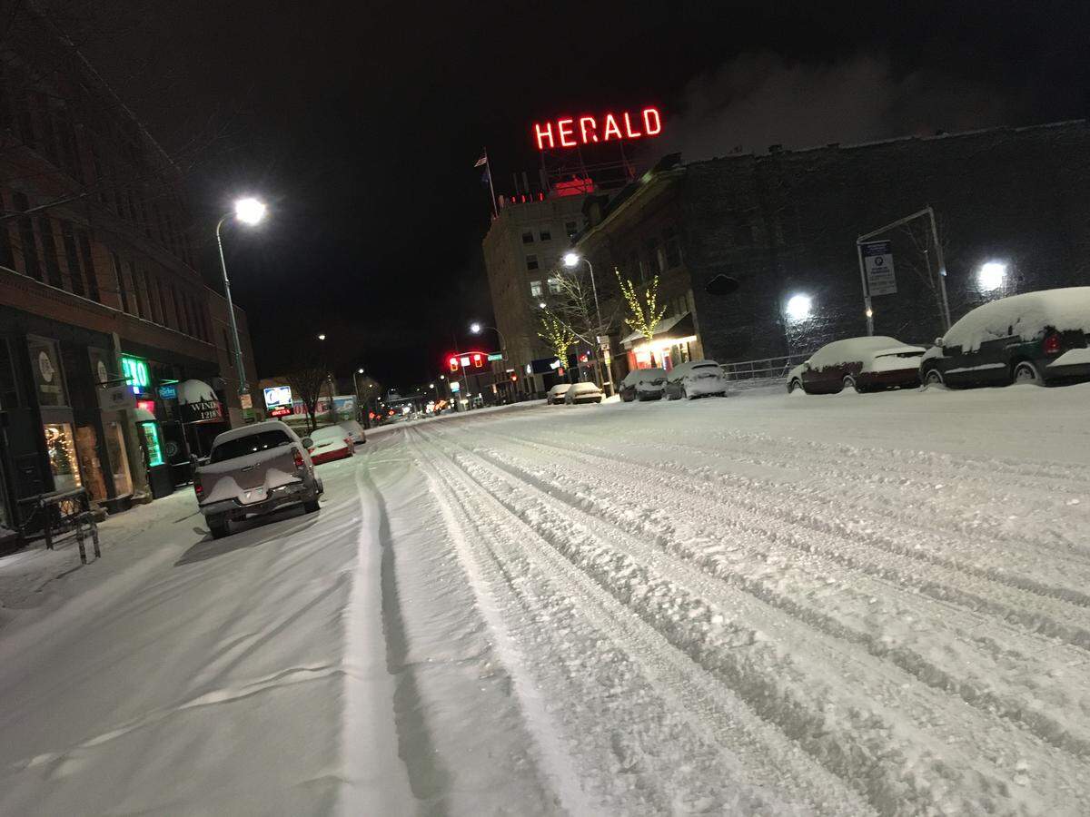
Travel was difficult across Whatcom County before dawn Wednesday, Jan. 15, as an overnight storm added 4 to 7 inches of fresh snow to what was already on the ground in the lowlands.
All schools and colleges were closed Wednesday.
Many businesses were closed or had employees working from home. Parking lots were nearly empty at some office buildings.
Mt. Baker Ski Area was open Wednesday, with nearly 2 feet of new snow in the past two days.
Power was out overnight for about 3,500 Puget Sound Energy customers early Wednesday, mostly south and east of Bellingham.
Trees and vegetation were cited as the cause.
Electricity was restored for most customers by sunrise, PSE said at its website.
National Weather Service meteorologists said gusty winds and heavy snow were knocking branches into utility lines.
Snowfall measurements
Snow stopped about 4 a.m. Wednesday, according to observations at Bellingham International Airport.
Overnight snow depth measurements ranged from 6.5 inches at Point Roberts to 5 inches at Lynden, 4 inches in Bellingham and 6.5 inches near Lake Samish, according to the Community Collaborative Rain, Hail and Snow Network.
St. Joseph’s hospital’s Emergency Department has not seen a noticeable rise in weather-related injuries or illnesses, spokesperson Bev Mayhew told The Bellingham Herald. The ER’s “volume has been heavy,” she said.
Road conditions
“Things are not looking too bad, considering the amount of snow that we received last night,” said Michael Olinger, maintenance supervisor for the Bellingham Public Works Department’s operations division.
“I don’t really have anything to report other than we have all of our equipment out, running the normal snow routes. Use caution everywhere and be safe,” he said in an email about 6 a.m. Wednesday.
“That temperature rise will allow the salt brine already in place to start melting the ice and snow on the roads we’ve treated,” said Amy Cloud, Public Works spokeswoman. “It is unlikely that city trucks will get to any residential streets (off the published snow routes) within the next 24 hours — except to assist emergency vehicles.”
Snow was covering Mount Baker Highway at 4,250 feet, and chains were required on cars without four-wheel drive, according to the state Department of Transportation.
Avalanche danger was “considerable” in the Mount Baker wilderness backcountry.
Buses were running with a few delays and detours, the Whatcom Transportation Authority tweeted about 7 a.m.
Maximum speed for buses with snow chains is 25 mph, so riders were cautioned to expect delays.
Trooper Heather Axtman of the Washington State Patrol tweeted that troopers have responded to 62 traffic collisions in Whatcom County since the snow started Sunday.
Community effort
Gargett said state highways in Whatcom County were covered in compact snow and ice.
“Whatcom County Search and Rescue 4x4’s have been providing emergency transport since Sunday and are activated through the weekend,” Gargett said in an email. “They currently have responded to 20-plus requests.”
Winter shelters have been opened for homeless and at-risk populations in Bellingham, he said.
A Whatcom County Sheriff’s Office release on Wednesday said the storm also has had an impact on the ability of fire service, law enforcement and emergency medical services to respond within their normal response times.
In addition to the snow and frigid temperatures, strong winds have felled many trees and resulted in road closures county wide, the release said, adding that many of the roads can’t be cleared until power lines declared safe. Winds also have caused snow drift problems, particularly in northern portions of the county.
The release asked residents to only call 911 for emergencies and understand it may take longer for responders to arrive.
“Whatcom County has world-class emergency responders for events such as this winter storm, and the professionalism of our deputies, the Public Works road crews, all emergency responders and volunteers, coupled with the public’s understanding, will get our community through this round of storms as fast as possible,” Sheriff Bill Elfo said in the release.
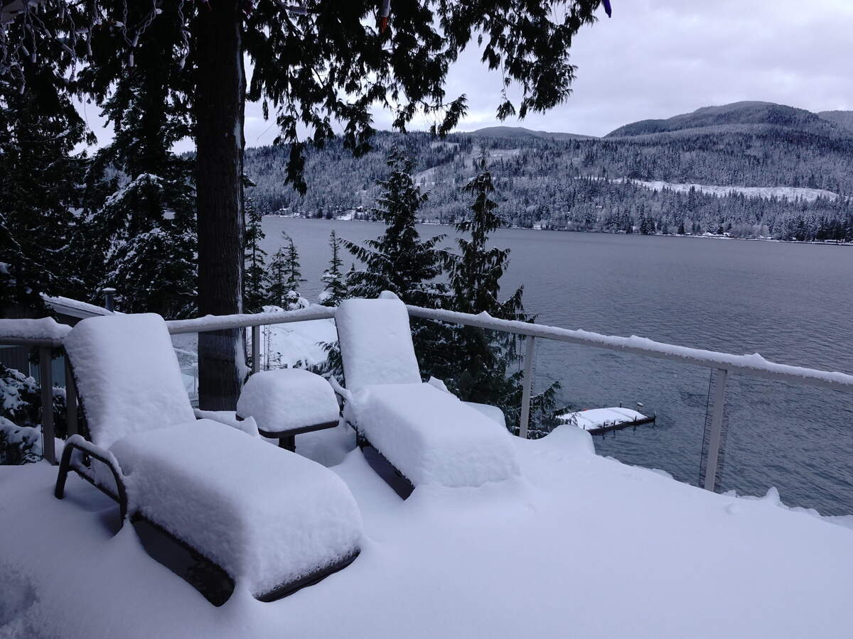
Did you get a great photo of the snow you’d like to share? Upload it to bhamherald.com/submit-photo.
The spelling of hospital spokesperson Bev Mayhew’s name was updated Jan. 23, 2020.
This story was originally published January 15, 2020 at 2:00 PM with the headline "Whatcom forecast sees snow easing Thursday, possible tidal and wind effects."