‘Bomb cyclone’ throws a roundhouse punch at Whatcom County. Here’s what to expect
A bomb cyclone roaring out of the Gulf of Alaska is expected to brush past Whatcom County on Monday night and into Tuesday, bringing fierce wind and rain to the lowlands and blizzard conditions to the North Cascades.
Southwest winds at 35-45 mph and gusting to 55 mph were possible in Bellingham and western Whatcom County as the cyclone tracks over Vancouver Island, according to the National Weather Service in Seattle.
A wind advisory was issued through 10 p.m. Tuesday, along with a landslide warning because of soil saturated by heavy rain.
Power outages are possible.
Meanwhile, light snow fell Monday morning in the lowlands of Whatcom County from Ferndale to Lynden to open what forecasters at the were calling a week of “active” weather.
Less than an inch of snow was showing on grass and roadsides Monday morning on traffic cameras, and there was little chance of accumulation with temperatures above freezing.
“We are getting a touch of everything all in one week,” meteorologist Jeff Michalski said.
High winds Tuesday would coincide with a 9-foot high tide near Birch Bay, but only about 2 feet of storm surge was expected so coastal flooding wasn’t a serious issue, Michalski said.
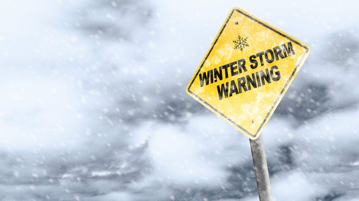
A winter storm warning was issued for the North Cascades on Monday, and heavy snow is expected. A blizzard warning was issued for Tuesday.
“We are expecting significant snowfall” along with strong winds and whiteout conditions, Michalski said.
Total snow accumulations of 1 to 4 feet are possible, with wind gusting as high as 60 mph in the mountains of Whatcom and Skagit Counties, including the Mount Baker Ski Area, according to the forecast.
Chances for lowland snow remain for later in the week across Whatcom County as a Fraser Outflow weather condition was expected to develop, bringing frigid air and gusty winds from the arctic into Northwest Washington.
Michalski said there was still considerable uncertainty about the timing of cold weather and the amount of snow in the forecast.
Anywhere from 1 to 4 inches of total snow was possible, with low temperatures in the teens and single digits Thursday through Sunday, Michaelski said.
This story was originally published January 8, 2024 at 12:44 PM.
