Whatcom County gets its white Christmas. Here’s the forecast for what’s next
Whatcom County got its white Christmas, as predicted, with snow starting to fall about 8 p.m. Friday, Dec. 24.
The Washington State Department of Transportation tweeted “Temps in the northend have started to drop and snow is falling in some areas. Our night crews are out treating the roads but if you plan to head out in the morning please plan for slick roads and give yourself some extra time to get there,” about 8 p.m. Friday.
Road crews reported slushy wet roads in many places in Whatcom County Saturday morning, Dec. 25, with some snow accumulation and ice on Mount Baker Highway from Bellingham to the Mt. Baker Ski Area.
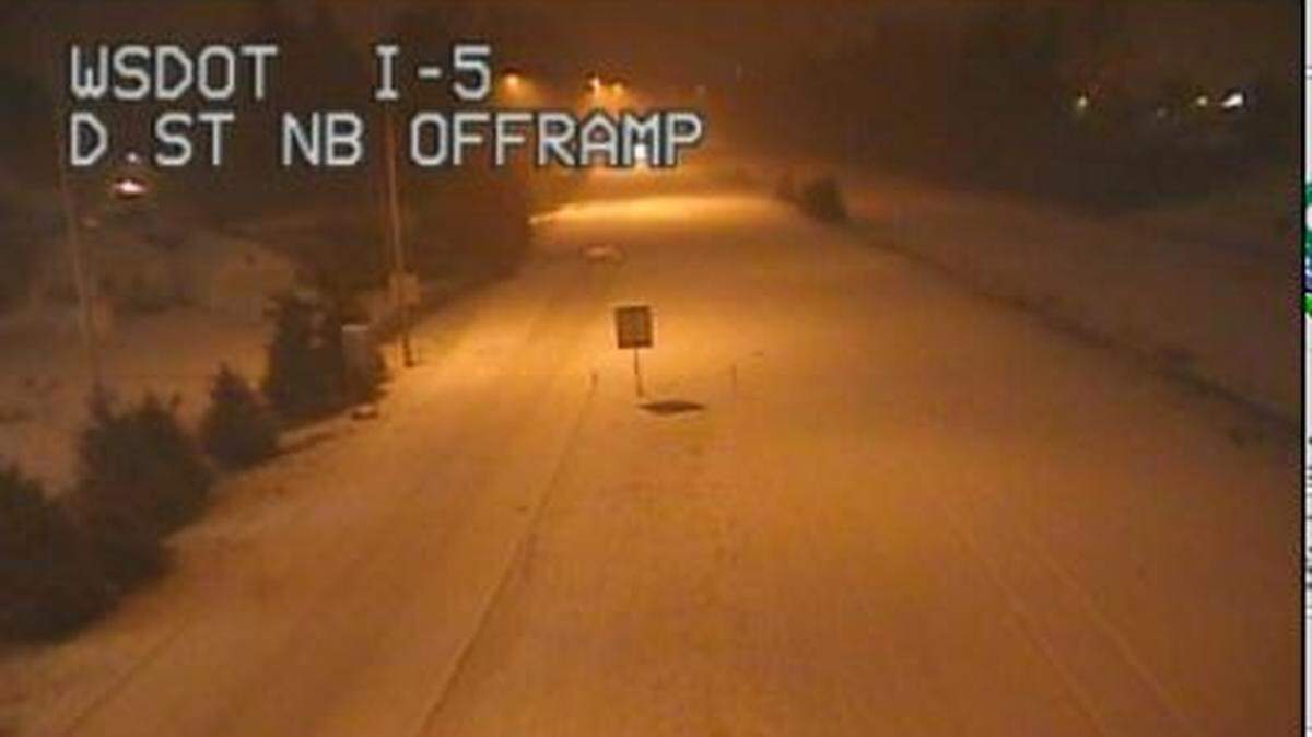
WSDOT cameras show Interstate 5 plowed, but snowy. Traffic was very light at 11 a.m.
Rain and snow showers are predicted for Saturday, becoming all snow after 10 a.m., according to the National Weather Service. Temperature are expected to fall to around 28 by 5 p.m., with wind chill values between 19 and 26.
Total daytime snow accumulation of 1 to 3 inches is possible.
Snow will most likely develop in showers and bands, leading to highly variable snow accumulations, according to the weather service’s winter storm warning for Bellingham and Whatcom County. Heavier snow is expected Saturday night into Sunday.
Travel could be very difficult, according to the weather service.
The Saturday morning forecast said the Fraser outflow is increasing across western Whatcom County and much colder temperatures and the potential for lowland snow remain possible over the weekend. The coldest air of the season is highly likely next week, turning drier, with little modification through the New Year, according to the weather service.
White Christmases are rare, but not unheard of in the Pacific Northwest.
According to a National Weather Service tweet Wednesday, Dec. 23, Seattle has had snow accumulation on Christmas nine times in the past 127 years (7%), ranging from a high of 1.8 inches of snow in 1909 to a low of 0.1 inches in 1916. Seattle has seen snow accumulation three times since 2000 (14% including 2000) — 0.4 inches in 2008, 0.9 inches in 2007 and 1.0 inches in 2017.
Having fun in the snow? Send us your photos at bellinghamherald.com/submit-photo.
This story was originally published December 25, 2021 at 7:21 AM.