Crews working Friday to clear roads as more snow falls overnight in Whatcom County
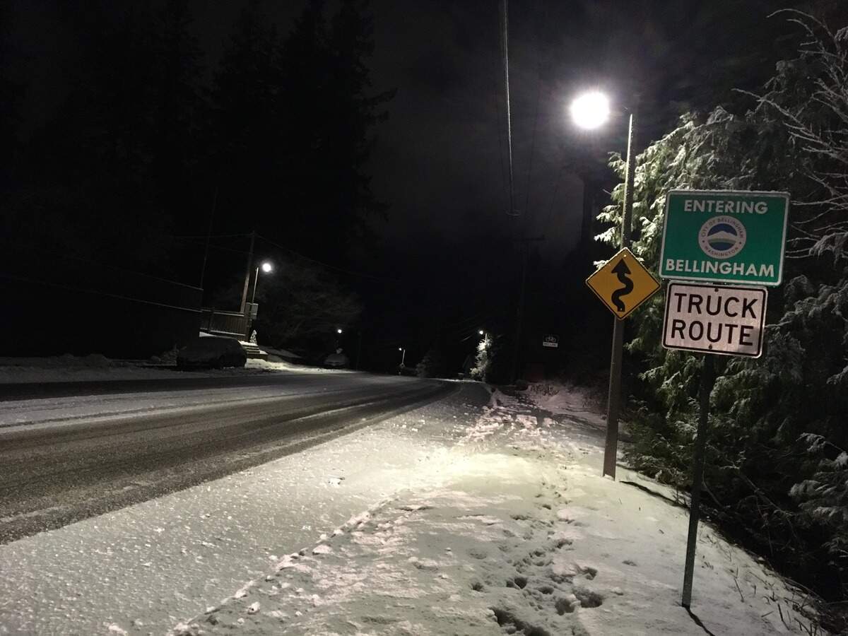
Whatcom County drivers will see another slow commute Friday morning as roads were mostly covered with snow or compact snow and ice after another winter storm left the lowlands with 1 to 7 inches of fresh snow overnight.
Heavier snow was reported inland, with smaller accumulations near the coast.
Interstate 5 was pavement was clear and wet at 8 a.m.
“Snow, slush, and black ice from the recent snow event will create travel impacts today,” the National Weather Service said in an email early Friday.
Bellingham Public Works spokeswoman Amy Cloud called road conditions “fair” in Bellingham a little after 8 a.m. Friday.
“There are still some areas of ice throughout Bellingham as temperatures dropped from 42 degrees yesterday to low 20s now. We have plowed about 85% of all the roads in Bellingham,” Cloud said in an email. “Crews are still working to get streets that have not been covered and to maintain the condition of arterials and snow routes.”
“Frost and ice are high concerns county-wide,” said John Gargett, deputy director of the Whatcom County Sheriff’s Office Division of Emergency Management.
Gargett said overnight snowfall ranged from a half-inch near the coast to 3 inches or more near Sumas.
A separate report showed 6 to 7 inches at Glenhaven, south of Sudden Valley.
“It’s very slick out there on the side roads off the freeway,” Gargett told The Bellingham Herald early Friday.
“South County, Cain Lake area, got 4 to 6 inches of snow last night. Very slick and dangerous down there,” he said.
All school districts around Whatcom County were closed again Friday in the wake of a week-long series of snowstorms as icy northeast winds blew south from British Columbia.
Western Washington University was closed, but Whatcom Community College was open, and Bellingham Technical College was open with a delayed 10 a.m. start.
“Our crews are working through the night to clean up remaining pockets of ice and snow,” said Jon Hutchings, Whatcom County director of public works.
“We will keep at it through (Friday) and then reassess for the weekend. It is still cold as heck in the north county, drifting is still a bit of a problem, but way better than (Thursday) morning. Leftover snow is disappearing fairly rapidly along the water,” Hutchings said in an email late Thursday.
Temperatures warmed to above 40 degrees Thursday in Bellingham and areas south, where gusty Pacific winds blew.
But temperatures around Lynden remained in the 20s through Thursday and fell back into the teens early Friday, according to National Weather Service observations.
Northeast winds proved stronger than those from the south, and temperatures grew colder across most of the county by Thursday afternoon.
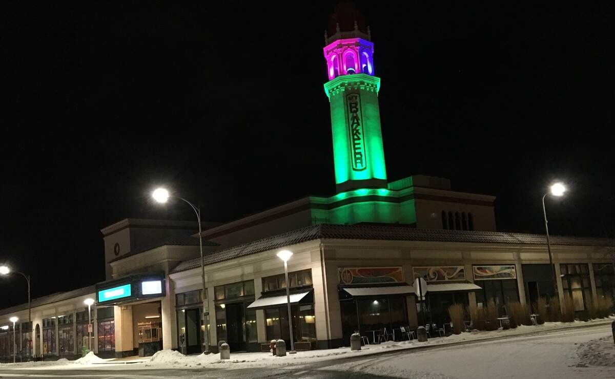
A passing squall dumped one-half to an inch of snow Thursday afternoon.
More snow fell overnight and isolated flurries continued at 5 a.m., according to observations.
Temperatures at 6 a.m. Friday were 18 degrees at Lynden, 20 degrees at Bellingham International Airport, 30 degrees near downtown Bellingham and 33 degrees in Sudden Valley.
Winds were light from the north-northeast at Bellingham airport.
Mt. Baker Ski Area was open with more than a foot of snow overnight and 15 feet of snow in 17 days, officials reported at their website.
“Riding conditions like this don’t come along that often and when the surf’s up you gotta drop everything and go,” the ski site said.
Avalanche conditions were “moderate” in the Mount Baker wilderness backcounty, according to the Northwest Avalanche Center.
There was a chance of snow Friday and Friday night in Whatcom County, with temperatures remaining below freezing.
A wind advisory was issued for 10 p.m. Friday to 10 a.m. Saturday for southeast winds 25-35 mph and gusts to 50 mph.
Rain is in the forecast for Saturday with a high around 45.
Environment Canada is forecasting continued cold temperatures with periods of snow Friday, with temperatures rising and rain or freezing rain on Saturday.
Did you get a great photo of the snow you’d like to share? Upload it to bhamherald.com/submit-photo.
This story was originally published January 17, 2020 at 5:16 AM with the headline "Crews working Friday to clear roads as more snow falls overnight in Whatcom County."